: info@dghcl.in   
: +91-7978312988

  • ISO-9001: 2015
  • UDYAM-OD-19-0015159
  • GSTIN No-21AAICD7738F1ZQ

Upcoming Event

One Day Talk On "Career Opportunities in Geospatial Industry"

Date : 30th January 2023
Time : 10:15AM to 12:15PM
Place : PN College, Khordha, Odisha.

Who We Are?

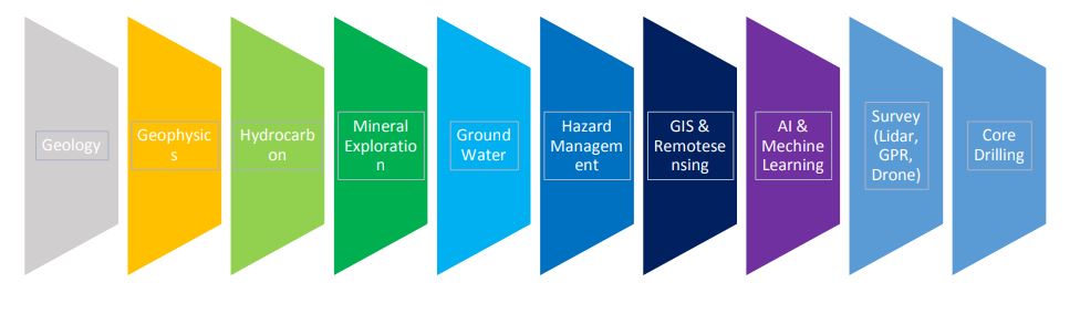
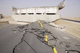
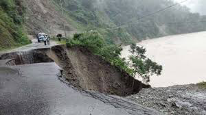
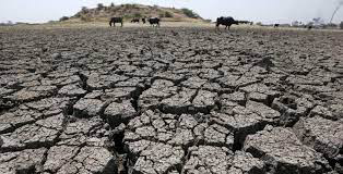
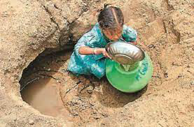
Integrated Project Management provide consulting service and modern technology that enables expert Geoscientist/ Earth science professionals from IIT, Ex ONGC & Geological Survey of India and GIS personals to excel in the field of Seismic Hazard Identification, Earthquake Impact Assessment/Monitoring, Ground Water, Hydrocarbon /Mineral Exploration, Sustainable and Alteration Energy, Minerals and mines safety & Automation by utilizing modern data driven software, AI/ML, and GIS.

Why DGHCL?

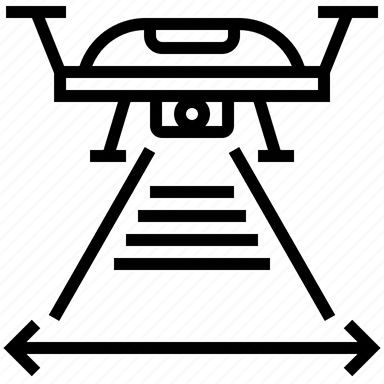
AI-based mineral exploration technologies that include mineral targeting, drone geophysics, and autonomous drilling, LIDAR, GPR.
AI-based mining exploration models by combining geological and geophysical data. Moreover, machine learning enables the startup to generate mineral deposit leads and enables them to identify potential hot spots for exploration (Prospect & Play fairway analysis)
Lab studies (Geological, Geochemical, Mapping)
Hands on practice, training & certification on technical skills
DGHCL is a aspiring solutions for up scaling technical skills and expertise to nurture the young engineers and professionals by data driven, practical hands on experience by industry experts for widen career opportunities globally.

What We Provide

DGHCL provides services and products which are primarily focused on Hazard Identification and Assesment, sub-surface studies, be simple geotechnical studies or developing earth models (3D) for mineral /Ground water / Oil & Gas industry by AI/ML and geo-scientific software.

Our Services

DGHCL provides services and products which are primarily focused on Hazard Identification and Assesment, sub-surface studies, be simple geotechnical studies or developing earth models (3D) for mineral /Ground water / Oil & Gas industry by AI/ML and geo-scientific software.
It gives global solution to growing needs of Govt. of India/ State Govt., Industry, PSU, Private Industry, Institution and technical students (Geology, Civil, Mining Engineering, Petroleum Engineering)
Expertise to find solution to various problems (Natural/Manmade Hazard) but also well-established process which brings quality and efficiency in data acquisition, processing, interpretation and modeling.
Earthquake resistance building, Geological/Geophysical survey, GPR
Will act for ordinary people, Industry, Academia and Govt. (State/Central)
Drone survey, LIDAR

Tech Courses (Diploma and Certificate course)

Quality
90%

Percision
80%

Innovation
95%

Fun
70%

Mission

DGHCL is an integrated project management and consulting organization pioneered by highly experienced G&G professionals to provide think tank solutions to Govt. Private Organization and Academy.


Vision

To reach from grass root level (local & regional) to Global consultancy. Integrated modeling & simulation with automation in exploration and production, solution to hazards. Provide qualitative data and information to Govt. & private agency. Pathfinder to Hydrocarbon and Geosciences world.

Core Grpoup

1. Hydrocarbon (Oil &Gas)

2. Seismic hazard Assessment Group

Rapid urbanization in the form of smart cities have raised the demand of new structures to fulfill the energy requirements of the society. It is important for the sensitive structures to withstand and function properly at the time of the major disaster and hence it is designed to survive major natural disasters especially during earthquake. It is required to study the source parameter and local site effects as it increases the damage potential of structures due to earthquake. In hazard studies, the site characterization is important step using geotechnical and geophysical test data.Seismic hazard assessment is the best tool to measure the future earthquake potential of the site.It provides useful information for designing new structures and retrofitting the existing ones, thus, these are excellent tools for town planning and urbanization.

3. GIS & Remote-Sensing

4. Ground Water

5. Mineral Exploration

6. Aerial Survey

Gallery


Keep In Touch

Give Us A Call or An Email, and We will get back to you As soon as possible.

Recognisation

Testimonial

What Our Student Says

Copyright © 2023 Silan Software. Designed by Silan Software Pvt. Ltd. All rights reserved.