Our Services
DGHCL provides services and products which are primarily focused on Hazard Identification and Assesment, sub-surface studies, be simple geotechnical studies or developing earth models (3D) for mineral /Ground water / Oil & Gas industry by AI/ML and geo-scientific software.
It gives global solution to growing needs of Govt. of India/ State Govt., Industry, PSU, Private Industry, Institution and technical students (Geology, Civil, Mining Engineering, Petroleum Engineering)
Expertise to find solution to various problems (Natural/Manmade Hazard) but also well-established process which brings quality and efficiency in data acquisition, processing, interpretation and modeling.
Earthquake resistance building, Geological/Geophysical survey, GPR
Will act for ordinary people, Industry, Academia and Govt. (State/Central)
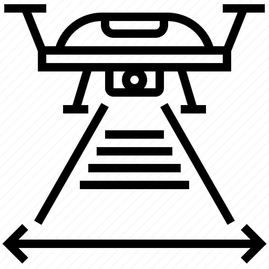
Drone survey, LIDAR
Tech Courses (Diploma and Certificate course)
- GIS (Arch GIS, Quantum GIS, Digitization)
- Mapping
- Survey
- Python